Empirical ocean tide modeling

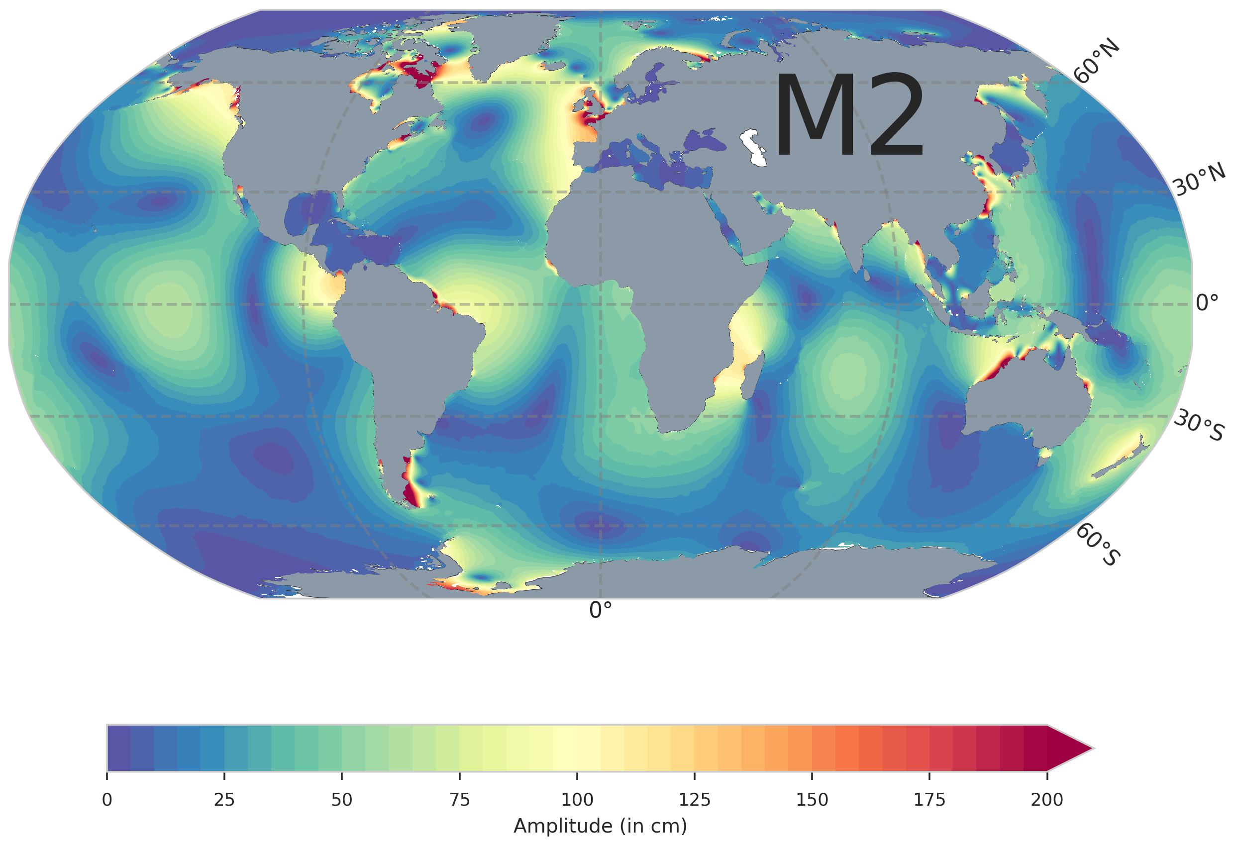
The long time series of precise and nearly global altimeter measurements from missions with different sampling characteristics allow a comprehensive and very accurate empirical modeling of ocean tides. For many years, DGFI-TUM has been computing global empirical ocean tide models based on altimetry data, the latest being EOT20.
Precise knowledge of ocean tides is of great importance for high-precision geodetic applications, since the observational data of all geodetic space techniques must be corrected for the comparatively high-frequency tidal influences. Furthermore, accurate tidal models are also relevant for ship traffic and for estimating the hazard potential of storm surges in the context of climate change and coastal protection.
The accuracy and spatial resolution of ocean tide models is increased by incorporating additional new and improved data (more missions and improved data pre-processing such as coastal retracking of radar waveforms). The longer and more accurate time series allow estimation of tidal components with smaller amplitudes. Advanced evaluation methods for ice-covered areas of the ocean are leading to improvements in these regions. Careful validation of tidal models is performed using data from coastal tide gauges and shallow-water bottom pressure sensors as well as through statistical evaluation of cross-over differences at altimeter ground tracks.
Related project
Related data products
- EOT20 / EOT11a: Global Empirical Ocean Tide models from multi-mission satellite altimetry
- TICON: Tidal Constants based on GESLA sea-level records from globally distributed tide gauges
Selected Publications
 (Open Access)
 (Open Access)
Arcisstraße 21
80333 München